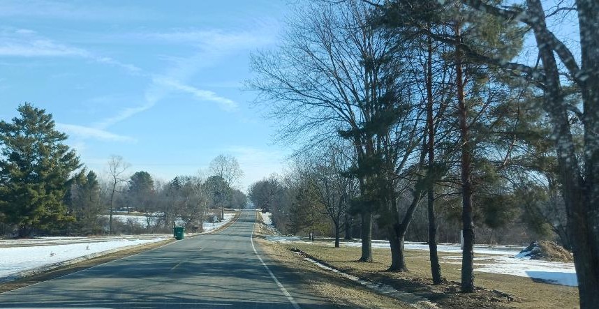
Very Springlike . . . .
Today is absolutely gorgeous and it really feels like spring is in the air. Highs will reach into the 50s through Wednesday, then more cold air will overtake once again. I’m hoping that this exceptionally warm weather won’t result in tornadic thunderstorms. Unfortunately, it happens when it gets too warm too soon.
Our 2:45 PM temperature is 56°F, the humidity is 56%, and winds are from the SSW at 6-8 mph. The pressure is 29.74 in and falling. The dew point is 36°F and visibility is 12 miles. Yesterday’s high was 54°F and the overnight low was 33°F. Average temps for this date are 34°F /17°F. Record temps for Feb. 15 are 54°F (2026) and -14°F (2015). Sunrise was at 7:33 AM and sunset will be at 6:09 PM.
DURAND / OWOSSO FORECAST:
This Afternoon: Partly sunny. Highs in the upper 50s. Winds SW at 10-20 mph
Tonight: Cloudy with patchy fog developing. Lows in the mid 30s. Winds W at 5-10 mph.
Tuesday: Patchy fog early, then mostly cloudy. Highs in the upper 40s. Winds ESE at 5-10 mph.