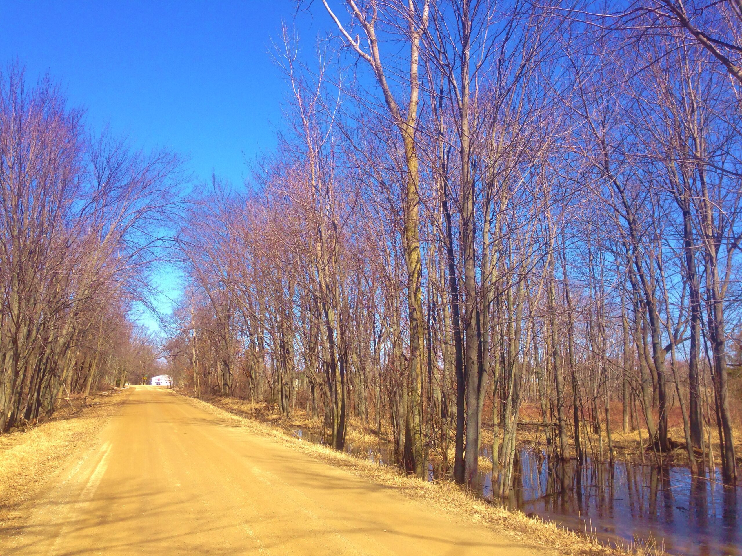
A Little Cooler But Sunny . . . .
We have a little reprieve from severe weather for a few days, but then another round is expected on Tuesday. It isn’t clear how much will affect Michigan but I hope that those affected by the tornadoes on Friday, don’t get hit again. Southwest Michigan is busy cleaning up the mess from the damage in ‘Three Rivers and Union City. This next system looks like it will stay to the states south of us, but that’s what they thought about Friday’s storms also.
Our 12:30 PM temperature is 47°F, the humidity is 62% and skies are clear. Winds are from the SW at 7-14 mph and the pressure is 29.69 in and falling. Yesterday’s high was 67°F and the overnight low was 38F. Average temps for this date are 40°F/22°F. Record temps for March 7 at 68°F (2004) and -1°F (2015). Sunrise was at 8:01 AM and sunset will be at 7:34 PM DLT.
DURAND / OWOSSO FORECAST:
This Afternoon: Sunny and windy. Highs in the mid 50s. Winds WSW at 20-25 mph, gusting higher at times.
Tonight: Partly cloudy. Lows in the mid 40s. Winds SW at 15-25 mph.
Monday: Sunny with highs in the upper 60s. Winds SW at 10-20 mph.