Windy And Wet . . . .
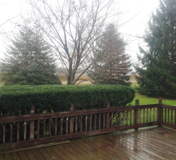
This is the type of day that you are happy if you don’t have to go anywhere. It is cold, very windy, and rainy. We are under a high wind warning, giving us a very uncomfortable wind chill. We could get some measurable snow over the next few days although it won’t last. There was about an inch on my deck this morning but it melted right away.
Our 5:15 PM temperature is 36°F, the humidity is 88%, and winds are overcast with drizzle. Winds are from the WSW at 7-22 mph and the pressure is 29.38 in and rising. The wind chill is 23°F and the dew point is 30°F. Visibility is 3 miles. Yesterday’s high was 42°F and the overnight low was 31°F. Average temps for this date are 42°F/23°F. Record temps for March 12 are 66°F (2012) and 15°F (2008). Sunrise was at 7:53 AM and sunset will be at 7:40 PM.
DURAND / OWOSSO FORECAST:
Tonight: Rain and snow mixed, becoming all snow after 8 PM. Very windy from the WNW at 25-13 mph, gusting higher at times. Chance of snow 60%. Lows in the mid 20s.
Saturday: Becoming partly sunny. highs in the upper 30s. Winds WNW at 10-15 mph.
Saturday Night: A potential winter storm developing after midnight. Winds east at 10-20 mph gusting higher at times. Lows in the upper 20s. Chance of precipitation 80% with two inches of snow accumulation possible.