
Another Snowy Day . . . .
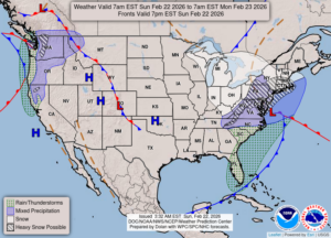
What began as rain late yesterday, turned to all snow by this morning. There was about an inch on the deck, and it has continued snowing since then. I estimate that we have about 2 inches and still coming down. Temps won’t warm up much through the week until Friday. Then we should be back in the 40s again.
Our 2:30 PM temperature is 32°F, the humidity is 80%, and skies are cloudy with moderate snow falling. Winds are from the west at 6-12 mph and the pressure is 29.92 and rising. The dew point is 25°F and visibility is 2 miles. Yesterday’s high was 34°F and the overnight low was 28°F. Average temps for this date are 35F/18F. Record temps for Feb. 21 are 65°F (2018) and -23°F (2015). Sunrise was at 7:24 AM and sunset will be at 6:17 PM.
DURAND / OWOSSO FORECAST:
This Afternoon: Cloudy with snow likely. Highs in the mid 30s. Winds NW at 10-20 mph. Chance of snow 60%.
Tonight: Continued cloudy with snow showers. Lows in the lower 20s. Winds NNW at 10-20 mph. Chance of snow 30%.
Monday: Cloudy skies early, then becoming partly cloudy. Highs in the mid 20s. Winds NNW at 10-15 mph.