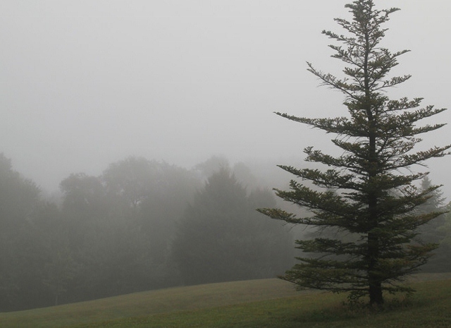
Rain And Fog . . . .
We have rain, sometimes heavy, along with fog today. This could last most of the day and temperatures are much cooler than yesterday. At least we’re getting rain and not snow. Temperatures will rebound tomorrow with highs expected near 60°F. These warm temps should remain most of this week.
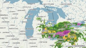
Our 3 PM temperature is 40°F, the humidity is 92%, and winds are from the NE at 3-6 mph. The pressure is 29.87 in and falling. The dew point is 38°F and visibility is 1 mile., Yesterday’s high was 55°F and the overnight low was 38°F. Average temps for this date are 39°F/21°F. Record highs for March 4 are 63°F (2024) and -10°F (2014). Sunrise was at 7:06 AM and sunset will be at 6:30 PM.
DURAND / OWOSSO FORECAST:
This Afternoon: Rain likely with patchy fog. Highs in the low 40s. Winds ENE at 5-10 mph. Expected rain amounts half an inch.
Tonight: Cloudy with isolated showers and drizzle. Lows in the mid 30s. Winds ENE at 5-10 mph. Chance of precip 20%.
Friday: Widespread fog early, otherwise cloudy with occasional rain showers. High near 60°F. Winds SSE at 10-15 mph.