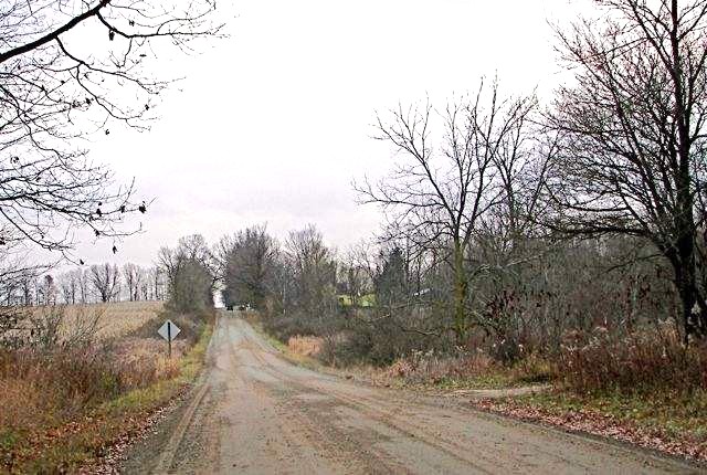
A Very Cold St Patrick’s Day . . . . .
I’ve heard that this is the coldest St. Patty’s day that we’ve had in 50 years. Our Upper Peninsula is digging out from the blizzard and some areas have 5 ft of snow pack. As for us, temperatures are way below average but at least the wind has calmed down. Once in a while we have some lake effect snow flurries which make it this far from Lake Michigan. Even the sun peeks out once in a while. There is no warmup expected until next weekend. Then there will be another burst of cold air after that. There seems to be no end to this.
Our 5 PM temperature is 25°F, the humidity is 43%, and winds are from the west at 7-12 mph, and the pressure is 30.52 in and rising. The dew point is 8°F and visibility is 14 miles. Yesterday’s high was 46°F and the overnight low was 18°F. Average temps for this date are 44°F/24°F. Record temps for this date are 78°F (2012) and 8°F (2012). Sunrise was at 7:45 AM and sunset will be at 7:45 PM.
DURAND / OWOSSO FORECAST:
This Afternoon: Occasional snow showers. Otherwise, mostly cloudy. Highs in the upper 20s. Winds W at 15-20 mph. Chance of precip 20%.
Tonight: Snow showers or flurries. Mostly cloudy with lows in the upper teens. Winds WSW at 10-20 mph. Chance of precip 10%.
Wednesday: Flurries or possible snow showers. Mostly cloudy with highs in the upper 30s. Winds south at 10-20 mph. Chance of precip 30%.