A Bit Of Calming For Our Wednesday . . .
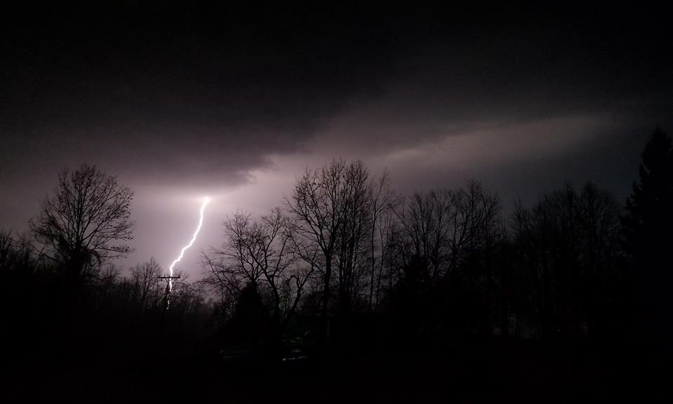
After a very stormy night, this morning still brought some light rain. We received over an inch of rain in Tuesday’s storms. They began moving into the state in late afternoon, then continued through the overnight. There was intense lightning, a few tornadoes, and a lot of damaging wind. We were under a tornado warning for about an hour late last night, but we were lucky once again. These storms just added to the flooding and many dams in the state are being stressed. We don’t have any standing water here, but our lawn is like a sponge.
Our 3:30 PM temperature is 69°F, the humidity is 80%, and skies are overcast. Winds are from the south at 6-9 mph, and the pressure is 29.72 in and steady. The dew point is 59°F and visibility is 10 miles. Yesterday’s high was 76°F and the overnight low was 58°F. Average temps for this date are 57°F/35°F. Record temps for April 14 are 82°F (2023) and 19°F (2007). Sunrise was at 6:55 AM and sunset will e at 8:18 PM.
DURAND / OWOSSO FORECAST:
This Afternoon: Showers and thunderstorms likely. Highs in the low 70s. Winds SW at 15-20 mph. Chance of rain 90%.
Tonight: Showers and thunderstorms. Lows in the lower 60s. Winds WSW at 10-15 mph. Chance of rain 90%.
Thursday: Showers in the morning, then a chance of thunderstorms in the afternoon. Highs in the upper 60s. Winds WSW at 10-15 mph.