Quiet After The Storms . . . .
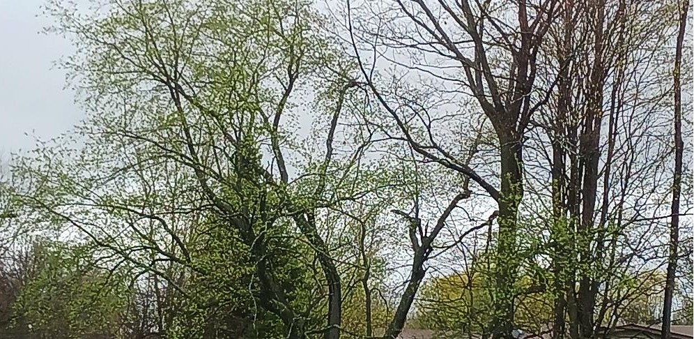
We are beginning another significant cool-down which has caused this latest round of tornadic weather. There were 8 confirmed tornadoes from Tuesday night state wide. One of them was 5 miles away from us, but only an EF0. That’s bad enough. Other than tornadoes, there was a lot of wind and hail damage. The warm weather is always nice, but too often, this is the result. At least it’s really opening the buds on trees and bushes.
Our 4:15 PM temperature is 63F, the humidity is 82%, and skies are mostly cloudy. Winds are from the west at 2-4 mph, and the pressure is 29.74 in and steady. The dew point is 54F and visibility is 10 miles. Yesterday’s high was 72F and the overnight low was 57F. Average temps for this date are 57F/35F. Sunrise was at 6:53 AM and sunset will be at 8:19 PM.
DURAND / OWOSSO FORECAST:
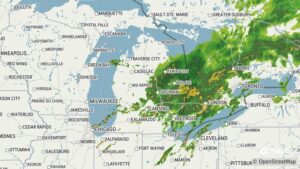
Tonight: A chance of showers and thunderstorms. Some fog developing. Lows in the lower 50s. Winds light and variable. Chance of rain 50%.
Friday: Areas of fog early, then becoming partly sunny. Highs in the lower 70s. Winds SE at 10-15 mph.
Friday Night: Partly cloudy early, then increasing clouds with thunderstorms late. Winds SSE at 10-20 mph. Chance of rain 70%.