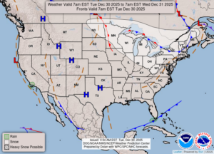
More Snow And Blustery Conditions . . . .
Today was very cold and windy, but not as bad as yesterday. Our top wind gust yesterday was 56 mph. This cold air will be with us until at least Monday, but the little warmup that we get won’t last long. This has been a real winter for us, and I’m ready for it to end. I don’t mind the snow as much as these cold temperatures. Yesterday brought scattered, lake effect snow, and we had the same today, just not as much. We have about half on inch on the ground, and we didn’t get much more today.
Our 7:15 PM temperature is 21°F, the humidity is 72% and skies are cloudy. Winds are from the west at 2-9 mph, and the pressure is 29.78 in and falling. The dew point is 12°F and visibility is 11 miles. Yesterday’s high was 41°F and the overnight low was 19°F. Average temps for this date are 32°F/19°F. Sunrise was at 8:08 AM and sunset will be at 5:11 PM.
DURAND / OWOSSO FORECAST:
Tonight: The wind continues with occasional snow showers. Lows in the lower 20s., Winds W at 10-15 mph. Chance of snow 80%.
Wednesday: Mostly cloudy with snow showers early. Highs in the mid 20s. Winds W at 10-20 mph. Chance of snow 80% with an inch of new accumulation possible.
Wednesday Night: Becoming partly cloudy. Lows in the single digits. Winds NW at 10-20 mph, with higher gusts possible.