More Cold And Snow For Our New Years Day . . . .
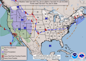
After receiving another couple of inches of snow yesterday, today our temperatures are much colder. We did have a little sun earlier, but now clouds have become dominate. Highs were supposed to reach the low 20s today but I don’t think it will make it. We now have snow cover of three inches once again.
Our 3:30 temperature is 19°F, the humidity is 67% , and winds are from the west at 5-14 mph. The pressure is 29.72 in and falling. The dew point is 8°F and visibility is 11 miles. Yesterday’s high was 27°F and the overnight low was 11°F. Average temps for this date are 32°F/19°F. Record temp for Dec. 31 are 55°F (2022) and -7°F (2007). Sunrise was at 8:08 AM and sunset will be at 5:13 PM.
DURAND / OWOSSO FORECAST:
Today: Mostly cloudy with snow showers. Highs in the low 20s. Winds W at 10-15 mph, with higher gusts at times. Chance of snow 30%.
Tonight: Cloudy with a chance of snow., Partial clearing over night., Lows in the upper teens. Winds W at 10-15 mph. Chance of snow 30%.
Friday: Partly sunny with highs in the mid 20s. Winds W at 10-15 mph.