Clouds Building This Afternoon . . .
What began as a clear, sunny day has now become mostly cloudy. There is the chance for rain this afternoon but our big issue are these hot temperatures. I’m now hearing that the next few weeks will be much cooler and I’m fine with that. In fact, one local meteorologist said that the end of this month will feel more like fall.
Our 1:30 PM temperature is 88°F, the humidity is 59%, and winds are from the south at 1-6 mph. The pressure is 30.05 in and rising. The dew point is 72°F and visibility is 10 miles. Yesterday’s high was 86°F and the overnight low was 71°F. Record temps for August 15 are 95°F (1944) and 42°F (1964). Sunrise was at 6:43 AM and sunset will be at 8:38 PM.
DURAND / OWOSSO FORECAST:
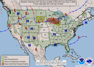
This Afternoon: A mix of sun and clouds. Slight chance of a shower or thunderstorm late. Highs in the upper 80s. Winds SW at 4-10 mph. Chance of rain 30%.
Tonight: Partly to mostly cloudy. Showers and a possible thunderstorm possible. Lows in the upper 60s. Chance of rain 60%. Winds W at 5-10 mph.
Sunday: Cloudy skies. Chance of showers. Winds NNE at 5-10 mph. Highs in the mid 70s. Chance of rain 30%.