Rain Finally Ended . . . .
After a very wet weekend, we are happy to see the sun again. Our weekend rain total was 2.25 inches. This should certainly help to ease the drought areas of the state. With it came much cooler temperatures although they are now closer to where they should be. We were spoiled with the extended summer that we had.
Our 12 noon temperature is 55°F, the humidity is 62%, and skies are mostly clear. Winds are from the west at 4-11 mph, and the pressure is 29.81 in and falling. The dew point is 41°F and visibility is 15 miles. Yesterday’s high was 64°F and the overnight low was 40°F. Average temps for this date are 58°F/41°F. Record temps for Oct. 19 are 78°F (2016) and 21°F (2018). Sunrise was at 7:56 AM and sunset will be at 6:45 PM.
DURAND / OWOSSO FORECAST:
Today: Sunny with a high in the low 60s. Winds WSW at 5-10 mph.
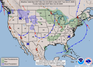
Tonight: Increasing clouds with showers developing overnight. Lows in the mid 40s. Winds S at 10-15 mph. Chance of rain 80%.
Tuesday: Overcast skies with occasional showers mainly in the afternoon. Winds WSW at 15-25 mph and highs in the upper 50s. Chance of rain 70%.