A Little Warmer, Snow Melting . . . .
We continue to have very cold temperatures for this date, but sun this morning melted most of the snow. Now the clouds have moved in again and there are only patches of snow left. My deck is still covered but I’m sure it will be gone very soon. Temps will remain below normal for the next dew days.
Our 1:15 PM temp is 35°F, the humidity is 70%, and skies are overcast. Winds are from the WSW at 7-14 mph, and the pressure is 29.88 in and falling. The dew point is 27°F and visibility is 11 miles. Yesterday’s high was 49°F and the overnight low was 27°F. Average temps for this date are 49°F/35°F. Record temps for Nov. 1o are 78°F (2020) and 15°F (2025). Sunrise was at 7:24 AM and sunset will be at 5:18 PM.
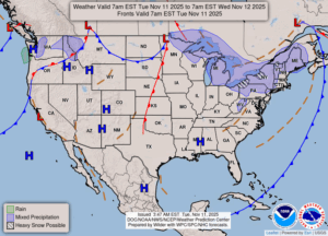
DURAND / OWOSSO FORECAST:
This Afternoon: Cloudy with a chance of snow in the afternoon. Highs in the upper 30s. Winds SSW at 10-20 mph. Chance of precip 30%.
Tonight: Cloudy with a chance of snow and freezing rain, mainly before midnight. Winds SW at 10-15 mph, gusting higher at times. Lows in the low 30s. Chance of precip 30%.
Wednesday: Overcast skies. Highs in the low 40s. Winds W at 10-20 mph.