A Brighter Day . . . .
We should see more sun today, but that won’t do much for warming it up. Highs will be about the same as yesterday with no real warmup coming anytime soon. I guess we have to expect that with it being the middle of November. Looking at my past blogs for this date in previous years, I’m seeing that we already had quite a bit of snow by this time. We’ve been lucky so far, and I’m hoping that it continues until Christmas or later.
Our 12:30 PM temperature is 43°F, the humidity is 48%, and skies are mostly clear. Winds are from the WNW at 6-11 mph and the pressure is 30.49 in and falling. The dew point is 23°F and visibility is 12 miles. Yesterday’s high was 46°F and the overnight low was 29°F. Average temps for this date are 36°F/32°F. Record temps for Nov. 16 are 65°F (2025) and 15°F (2019). Sunrise was at 7:32 AM and sunset will be at 5:12 PM.
DURAND / OWOSSO FORECAST:
This Afternoon: Mostly sunny. Highs in the low 40s. Winds WNW at 10-20 mph.
Tonight: Partly cloudy. Lows in the mid 20s. Winds light and variable.
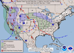
Tuesday: Cloudy with snow showers in the afternoon, possibly turning to rain late. Highs in the upper 30s. Winds light and variable. Chance of precipitation 50%.