
Rain And Falling Temiperatures . . . .
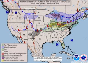
Our quiet, warm morning has become very wet and chilly. Severe storms are a possibility but mainly down by our southern borders. We can expect a little T & L, but right now we’re just getting moderate rainfall. Temps were in the mid 50s this morning, but now have fallen into the 40s. I heard that we could see a few flurries of snow tonight, but I’m not seeing it now in our current forecasts.
Our 4:40 PM temperature is 46°F, the humidity is 92% and skies are cloudy with moderate to heavy rainfall. Winds are from the NNE at 0-9 mph . The pressure is 29.76 in and rising. The dew point is is 34°F and visibility is 7 miles. Yesterday’s high was 62°F and the overnight low was 42°F. Average temps for this date are 48°F/27°F. Record temps for March 25 are 75°F (2012) and 12°F (2014). Sunrise was at 7:29 AM and sunset will be at 7:55 PM.
DURAND / OWOSSO FORECAST:
This Afternoon: Falling temperatures with showers and thunderstorms. Winds NNE at 10-20 mph. High today was 60F. Chance of rain 90%.
Tonight: Showers and possibly a thunderstorm. Rain ending overnight. Winds NNE at 10-20 mph. lows in the mid 20s. Chance of rain 60%.
Friday: Partly cloudy with highs in the upper 30s. Winds north at 10-20 mph.