An Afternoon Deluge . . . .
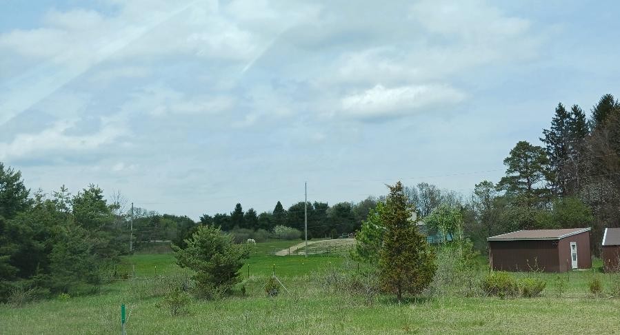
The morning began with clear skies, but by noon, clouds were thickening. We were in Detroit, and I knew that rain was in the forecast for this afternoon. I hoped that we made it home before the storms. Well, we almost made it. By 2:30 we were in Holly and we drove through a hard sprinkle. By the time we reached east of Durand, it was like the sky opened up and it was like driving through a car wash. We could hardly see the road and others were pulling off. My husband just kept driving and the rain finally let up by the time we got through Vernon. It had totally stopped when we got home. I checked my rain gauge and there was 0.70″ which fell in about a 20 minute time frame. The fields just started drying up and now are full of water once again.
Our 5:30 PM temperature is 67°F, the humidity is 91%, and skies are overcast. Winds are from the south at 0-2 mph. The pressure is 29.59 in and rising. The dew point is 64F and visibility is 5 miles. Yesterday’s high was 86F and the overnight low was 63°F. Average temps for this date are 61°F/38°F. The record high for April 23 is 86°F (yesterday) and the record low is 25°F (20151). Sunrise was at 6:41 AM and sunset will be at 8:29 PM.
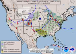
DURAND / OWOSSO FORECAST:
Tonight: Showers and a possible thunderstorm early, then overcast skies overnight. Lows in the upper 40s. Winds W at 5-10 mph, higher in thunderstorms. Chance of rain 80%.
Saturday: Mostly cloudy. Highs in the mid 50s. Winds NNE at 10-15 mph, gusting higher at times. Lows in the upper 30s.
Saturday Night: Partly cloudy. Lows in the upper 30s. Winds NE at 10-15 mph.