
After The Storms . . . .
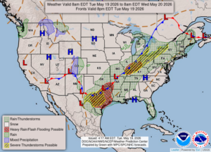
After an afternoon of severe storms, which causes a lot of power outages and tree and roof damage, today is more tranquil. There is still a slight chance for more heavy storms but more in the southern areas of the state. At this time, we have mostly cloudy skies and very warm temperatures. After today, our temps will be more normal for the upcoming week.
Our 2 PM temperature is 82°F, the humidity is 57%, and winds are from the WSW at 3-15 mph. The pressure is 29.86 in and steady, and the dew point is 63°F. visibility is 13 miles. Yesterday’s high was 87°F and the overnight low was 63F. Average temps for this date are 70°F/48°F. Record temps for May 18 are 87°F (2026 and 2017). Sunrise was at 6-10 AM and sunset will be at 8:57 PM.
DURAND / OWOSSO FORECAST:
This Afternoon: Cloudy with possible showers and thunderstorms. Highs in the mid 80s. Winds WSW at 15-25 mph Chance of rain 60%.
Tonight: Showers and thunderstorms early then mostly cloudy overnight. Lows in the lower 50s. Winds west at 10-15 mph. Chance of rain 30%.
Wednesday: Mostly cloudy early, then gradual clearing. Highs in the lower 60s. Winds N at 5-15 mph.