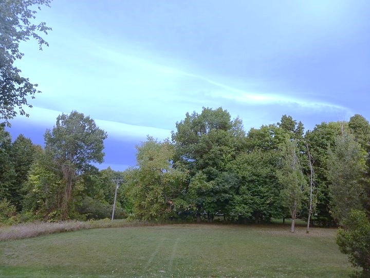
One Of Those “Hot” Days . . . . .
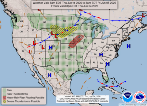
This will probably be our last dry day as the midwest storms will start reaching us tomorrow. I hope it settles down a bit before finding us. Today’s heat and increasing humidity will help it to maintain its power. We could see highs nearing the 90s this afternoon.
Our 12:30 PM temperature is 82°F, the humidity is 28% and the pressure is 30.05 in and falling. The dew point is 45°F and visibility is 16 miles. Yesterday’s high was 83F and the overnight low was 51°F. Average temps for this date are 75°F/53°F. Record temps for June 3 are 90°F (2020) and 40°F (2013). Sunrise was at 6:00 AM and sunset will be at 9:11 PM.
DURAND / OWOSSO FORECAST:
Today: Becoming partly cloudy. Highs in the upper 80s. Winds SW at 10-15 mph.
Tonight: Partly cloudy. Lows in the mid 60s. Winds SSW at 5-10 mph.
Friday: Increasing clouds with a chance of showers in the afternoon. Winds SW at 10-20 mph. Highs in the mid 80s. Chance of showers 40%.