Possibly, A Stormy Week . . . .
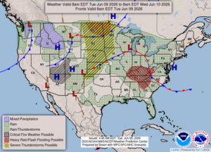
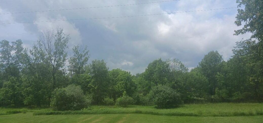
We were warned that this could be a week with severe weather possible almost every day. Today wasn’t supposed to be one, but we have already had a few tornado warnings, but not for my area. Hopefully, it will stay that way. We have had off and on showers all morning, with about quarter of an inch of rain so far. Once and awhile the sun pops out which adds to the instability in the air.
Our 2 PM temperature is 81°F, the humidity is 77%, and winds are from the south at 2-11 mph. Highs in the lower 80s. Skies are mostly cloudy and the pressure is 29.82 in and falling. The dew point is 70°F and visibility is 10 miles. Yesterday’s high was 86°F and the overnight low was 69°F. Average temps for this date are 77°F/55°F. Record temps for June 8 are 95°F (2011) and 44°F (2016). Sunrise was at 5:58 AM and sunset will be at 9:14 PM.
DURAND / OWOSSO FORECAST:
This Afternoon: Mostly cloudy with scattered showers and thunderstorms. Winds SSW at 10-15 mph, gusting higher at times or during storms. Chance of rain 60%.
Tonight: Scattered thunderstorms early, then mostly cloudy after midnight. Lows in the mid 60s, winds SSW at 5-10 mph. Chance of rain 60 %.
Wednesday: Partly sunny with highs near 90°F. Winds WSW at 5-10 mph.