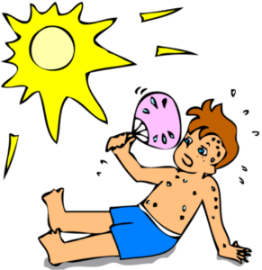
Dangerous Heat Is Upon Us . . . .
It is like an oven outdoors and the only thing making it bearable is that we have a breeze. It doesn’t help much when temperatures are in the 90s. In fact, some local forecasters are saying that some areas could reach 100°F. Also, there is always a chance for a popup storm, although rain is not in our forecast today.
Our 12:30 PM temperature is 98°F, the humidity is 65%, and winds are from the SW at 5-11 mph. The pressure is 29.87 in and falling. Skies are mostly cloudy, the dew point is 74°F and visibility is 11 miles. Yesterday’s high was 90°F and the overnight low was 73°F. Average temps for this date are 82°F/59°F. Record temps for June 29 are 98°F (2012) and 42°F (2018). Sunrise was at 6:01 AM and sunset will be at 9:19 PM.
DURAND / OWOSSO FORECAST:
Today: An Extreme Heat warning is in effect. It will be mostly sunny with highs in the mid 90s. Heat values will reach as high as 107°F. Winds SW at 15-20 mph,, gusting higher at times.
Tonight: Mostly clear. Lows in the mid 70s. Winds WSW at 10-15 mph.
Wednesday: Sunny, hot and humid. Highs in the mid to upper 90s. Winds WSW at 10-15 mph.