Some Rain In Our Forecast . . . . .
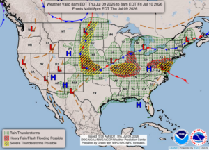
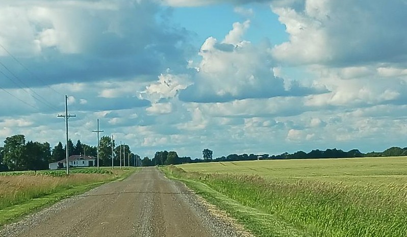
We have showers and thunderstorms in the forecast but no severe weather is expected here. Temperatures are a little cooler, but the 90s are expected to come back by next weekend. So far today has been pleasant but rain is starting to show on the radar. We really don’t need anymore so I hope most misses us.
Our 12:45 PM temperature is 82°F, the humidity is 63%, and winds are from the WSW at 0-6 mph. The pressure is 29.85 in and steady. The dew point is 67°F and visibility is 10 miles. Yesterday’s high was 90F and the overnight low was 72°F. Average temps for this date are 82°F/60°F. Record temps for July 8 are 96°F (2020) and 48°F (2004). Sunrise was at 6:07 AM and sunset will be at 9:17 PM.
DURAND / OWOSSO FORECAST:
Today: Mostly cloudy with scattered thunderstorms developing. Some storms could be strong. Highs in the lower 80s. Winds west at 10-20 mph. Chance of rain 80%.
Tonight: Showers and thunderstorms overnight. Lows in the mid 60s. Winds light and variable. Chance of rain 40%.
Friday: Cloudy early with gradual clearing in the afternoon. Highs in the lower 80s. Winds NE at 5-10 mph.