Rain Finally Ended . . . .
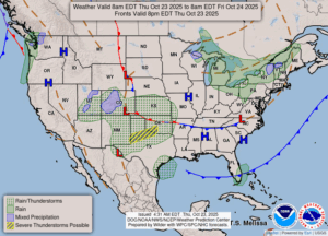
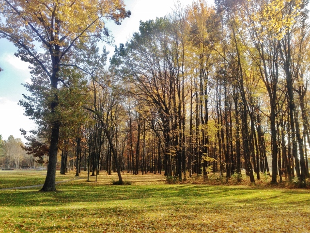
After yesterday’s almost total washout, today began with clear skies. Now more clouds have moved in and some look like rain. It will be very chilly today and the wind will not make it any warmer. High pressure is moving our way, so hopefully, we’ll see some sunny weather over the next few days.
Our 1:30 PM temperature is 49°F, the humidity is 68%, and winds are from the west at 2 to 11 mph. The pressure is on the rise at 29.83 inHg. The dew point is 38°F and we received 0.20 in of rain yesterday. Visibility is 10 miles. Yesterday’s high was 52°F and the overnight temp was 40°F. Average temps for this date are 56F/40F. Record temps for this date are 79°F (2024) and 26°F (2008). Sunrise was at 8 AM and sunset will be at 6:40 PM.
DURAND / OWOSSO FORECAST:
This Afternoon: Mostly cloudy with a slight chance of showers. Highs in the lower 50s. Winds WNW at 10-15 mph with higher gusts possible. Chance of rain 40%.
Tonight: Becoming partly cloudy. Lows in the mid 30s. Winds WNW at 5-10 mph. Chance of rain 30%.
Friday: A mix of sun and clouds. Highs in the lower 50s. Slight chance of rain. Winds WNW at 5-10 mph.