Extreme Heat Watch . . . .
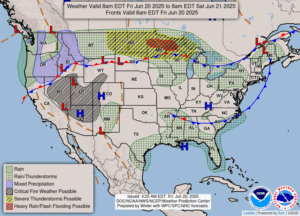
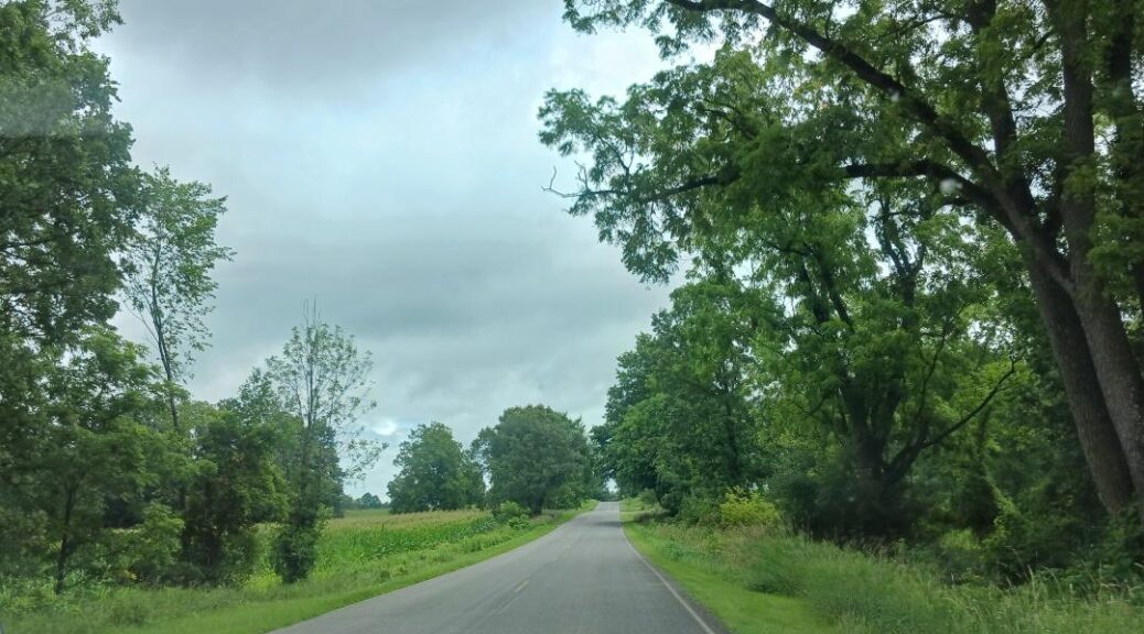
After a very stormy past two days, we should see quite a bit of sun and very warm temperatures in our near future. Thunderstorms are a possibility but nothing severe is expected. We had a lot of rain Wednesday and even a tornado in the Detroit area. Out total rainfall for the past two days was 1.14″. This morning is cloudy with a few peeks of the sun. There isn’t much precip showing on radar at this time.
Our 9:15 AM temperature is 69°F, the humidity is 85%, and winds are from the SSW at 2-6 mph. The pressure is 29.95 in and steady. Skies are cloudy and the dew point is 63°F. Visibility is 10 miles. Yesterday’s high was 77°F and the overnight low was 60°F. Average temps for this date are 80°F/57°F. Record temps for June 19 are 96°F (1995) and 43°F (2022). Sunrise was at 5:57 AM and sunset will be at 9:18 PM.
DURAND / OWOSSO FORECAST:
Today: Mostly cloudy with showers and thunderstorms. High in the low to mid 80s. Winds WSW at 5-10 mph. Chance of rain 50%.
Tonight: Cloudy with scattered thunderstorms after midnight. Low near 70°F. Winds SSW at 5-10 mph. Chance of rain 40%.
Saturday: Sun and clouds mixed. A chance of rain early, then gradual clearing. Highs in the low 90s with the heat index values as high as 100°F. Winds SSW at 15-25 mph. Chance of rain 30%.
