
Thunderstorms On The Way . . . .
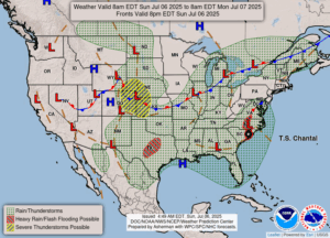
It is a hot, muggy day, and it feels like a good storm could happen. At this time, I’m seeing a few small cells sprinkled over the map, and there is one just to our southwest which looks like it could hit us. There is the possibility that some storms could be severe, but none happening at this time.
Our 1:30 PM temperature is 89°F, the humidity is 58% and winds are from the SW at 4-10 mph. The pressure is 29.81 in and falling. Skies are partly cloudy, the dew point is 68°F and visibility is 10 miles. The heat Index is very high at 9. Yesterday’s high was 91°F and the overnight low was 73°F. Average temps for this date are 82°F/60°F. Record temps for July 5 are 102°F (1921) and 43°F (1972F. Sunrise was at 6:03 AM and sunset will be at 9:18 PM.
DURAND / OWOSSO FORECAST:
Today: Mostly cloudy with scattered showers and thunderstorms after 2 PM. Highs in the low 90s. Winds SW at 10-15 mph. Chance of rain 90%.
Tonight: Overcast skies with showers. Lows in the low 60s. Winds NW at 5-10 mph. Chance of rain 50%.
Monday: Cloudy early, then partial clearing in the afternoon. High 76F. Winds N at 5-10 mph.