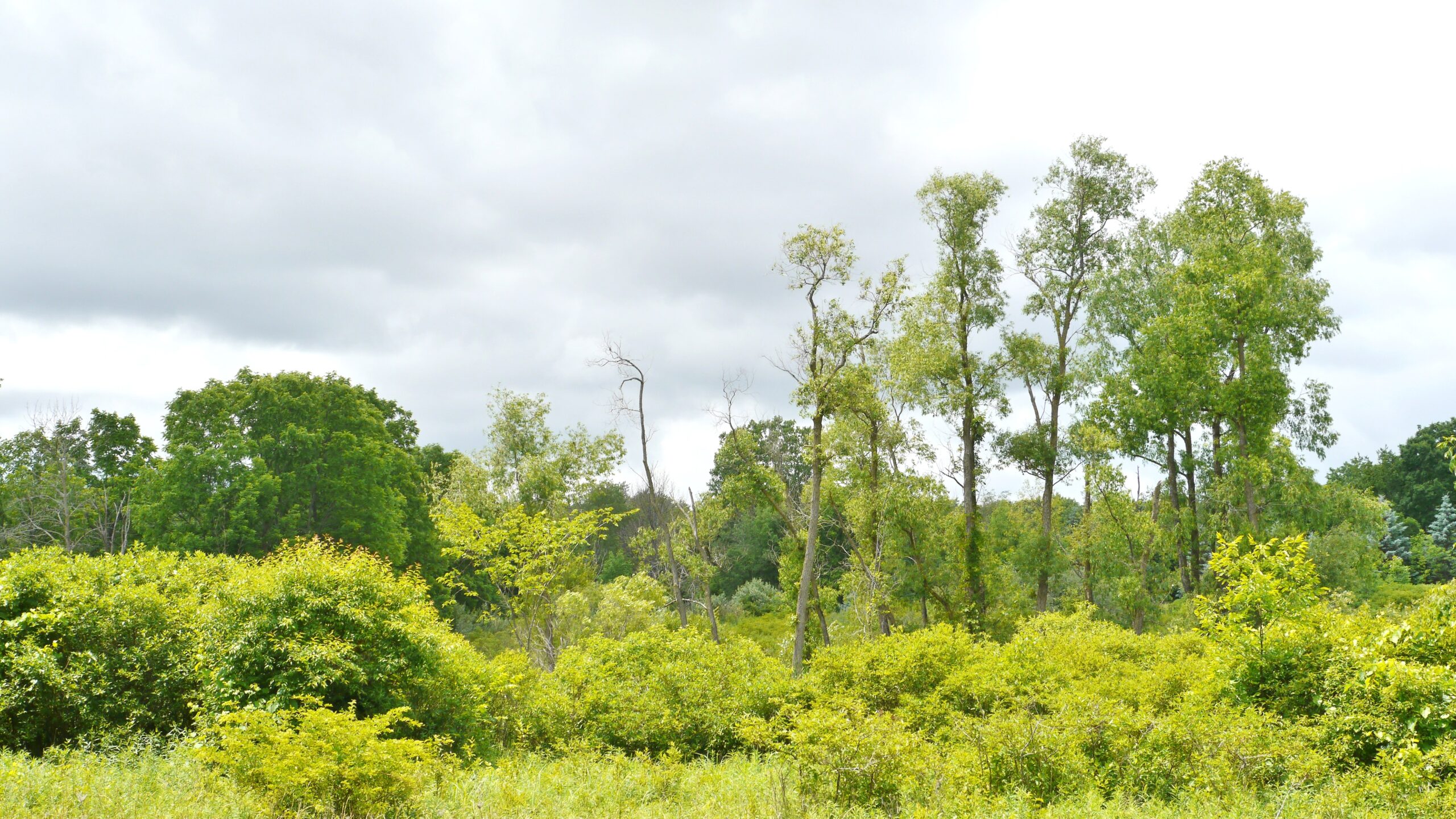
Another Stormy Day . . . .
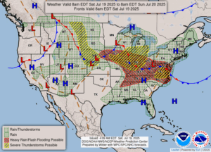
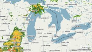
Once again, we are in the severe storm area on the map. The weather computers are not in agreement as to how affected we will be. Right now, we have clouds and moderate winds. Radar is showing storms to our southwest and north. One computer shows us to be in direct line for these storms. Another shows that it will split and move to our north and south, totally missing us. I guess we’ll find out This afternoon. We certainly don’t need anymore rain.
Our 11 AM temperature is 75°F, the humidity is 81%, and skies are overcast. Winds are from the SSW at 2-9 mph. The pressure is 29.95 in and falling. Visibility is 10 miles and the dew point is 65°F. Yesterday’s high was 77°F and the overnight low was 63°F. Average temps for this date are 82°F/60°F. Record temps for July 18 are 100°F (1930) and 45°F (1924). Sunrise was at 6:14 AM and sunset will be at 9:10 PM.
DURAND / OWOSSO FORECAST:
Today: Increasing clouds and humidity. Heavy to severe thunderstorms are possible this afternoon and flash flooding. Winds SSW at 5-10 mph gusting higher at times. Highs in the low 80s. Chance of rain 50%.
Tonight: Mostly cloudy and humid with possible thunderstorms. Lows in the upper 60s. Winds W at 5-10 mph. Chance of rain 40%.
Sunday: Cloudy early, becoming partly cloudy later in the day. Highs in the upper 70s. Winds N at 5-10 mph.