Much Cooler Today . . . .
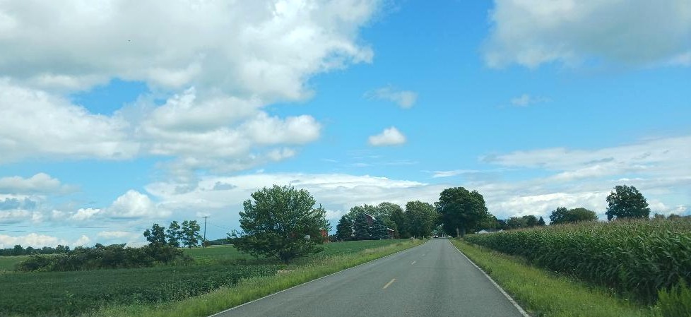
The day began with clear skies, but now clouds are moving in. We do have a chance for hit and miss showers once again, just like the past two days. I had to run the furnace this morning for the first time. High temps for the rest of the week should remain in the 70S.
Our 12:30 PM temperature is 66°F, the humidity is 46%, and skies are partly cloudy. The pressure is 30.10 in and rising. The dew point is 44°F and visibility is 10 miles. Winds are from the WNW at 6-9 mph. Yesterday’s high was 69°F and the overnight low was 46°F. Average temps for this date are 79°F/57°F. Record temp for August 25 are 92°F (2020) and 43°F (2017.
DURAND / OWOSSO FORECAST:
This Afternoon: Partly cloudy with a slight chance of a shower. High near 70°F. Winds NW at 10-15 mph. Chance of rain 20%.
Tonight: Becoming mostly clear. Lows in the lower 40s. Winds WNW at 5-10 mph.
Wednesday: Increasing clouds. Highs in the mid 70s. Winds SW at 5-10 mph.