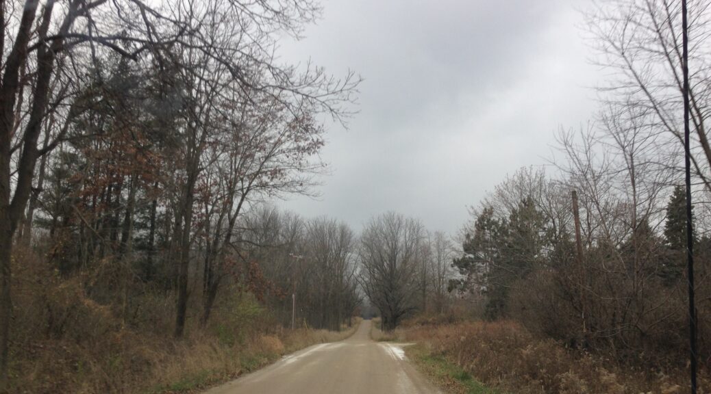
Major Storm On The Way . . . .
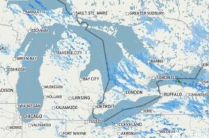
A couple of major storms are baring down on us with expected substantial amount of snow. The western side, northern half, and the upper peninsula are already getting it, and it should start here tomorrow afternoon. Snow amounts vary depending on the source, but most media are saying 4-6 inches for this area. I’m hearing up to 10 inches from AccuWeather, but we’ll soon find out.
Our 3 PM temperature is 30°F, the humidity is 65% and wind°s are from the NW at 5-9 mph. Skies are overcast and the dew point is 19°F. The pressure is 30.55 in and rising. Visibility is 11 miles and the wind chill is 23°F. Yesterday’s high was 34°F and the overnight low was 28°F. Average temps for this date are 39F/28F. Record temps for Nov. 27 are 60°F (2015) and 18°F (2023). Sunrise was at 7:44 AM and sunset will be at 5:04 PM.
DURAND / OWOSSO FORECAST:
This Afternoon: Cloudy skies with partial clearing late. Highs in the low 30s. Winds WNW at 5-15 mph, gusting higher at times.
Tonight: Becoming partly cloudy. A few snow showers possible. Lows in the upper teens. Winds SSE at 5-10 mph. Snow chances 50%.
Saturday: Cloudy with snow developing after 1 pm. Winds SSE at 5-10 mph, gusting up to 20 mph. Chance of snow 70%.