Interesting Fog To Start The Day . . . . .
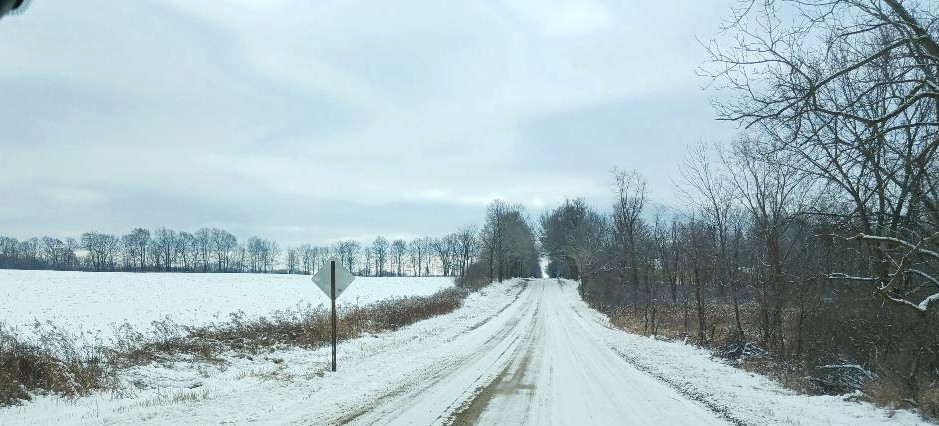
This morning began with sunny skies and fog which was lifted about 20-30 feet off the ground. Ground level was clear. It seemed like there should be hoar frost but none was seen. Temps dipped into the teens again overnight but recovered a bit after sunrise. Our temperature is below where it should be, and no warmup is expected anytime soon.
Our 3:30 PM temperature is 33°F, the humidity is 73% and winds are SW at 4-9 mph. Skies are mostly cloudy with filtered sun, and the pressure is 30.16 in and steady. The dew point is 24°F and visibility is 10 miles. Yesterday’s high was 30°F and the overnight low was 16°F. Average temps for this date are 37°F/26°F. Record temps for Nov 1 are 57°F (2010) and 12°F (2025).
DURAND / OWOSSO FORECAST:
This Afternoon: Mostly cloudy. Highs in the lower 30s. Winds SW at 5-10 mph.
Tonight: Mostly cloudy. Lows in the lower 20s. Winds SW at 10-15 mph.
Wednesday: Cloudy skies with snow showers in the afternoon. Highs in the low 30s. Winds WNW at 5-10 mph. Chance of snow 60%. Little accumulation expected.