Continued Below Average Temps . . . . .
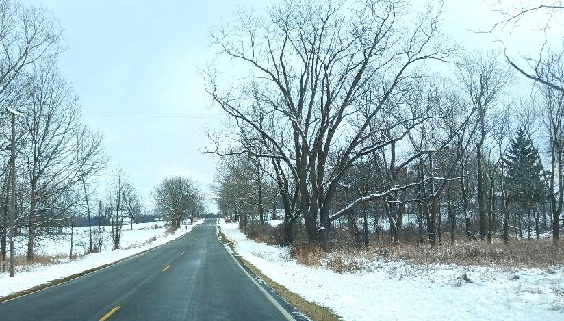
The frigid weather is still with us. Last night’s temperatures dipped into the single digits but the next day or so will be a bit warmer. This is like January. Our morning began with clear skies but now clouds have taken over. I hope that we don’t get anymore snow for awhile. I have to go to Detroit on Friday, so I want the roads to be clear and dry.
Our 2 PM temperature is 24°F, the humidity is 58%, and winds are from the SSW at 5-9 mph. The pressure is 30.07 in and falling. The dew point is 10°F and visibility is 11 miles. Yesterday’s high was 29°F and the overnight low was 9°F. Average temps for this date are 38°F/25°F. Record temps for Nov. 4 are 64°F (2012) and 5°F (2005). Sunrise was at 7:52 AM and sunset will be at 5:03 PM.
DURAND / OWOSSO FORECAST:
This Afternoon: Mostly cloudy. Highs in the mid to upper 20s. Winds SW at 10-15 mph. will higher gusts possible.
Tonight: Cloudy with a chance of snow or freezing rain. Lows in the mid 20s. Winds SW at 10-15 mph. Chance of precip 40%.
Saturday: Overcast with highs in the lower 30s. Winds W at 10-15 mph