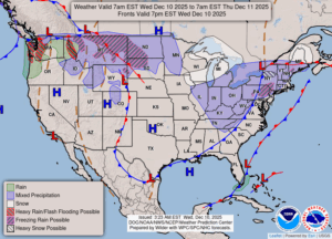
Weather Advisory In Effect . . . .
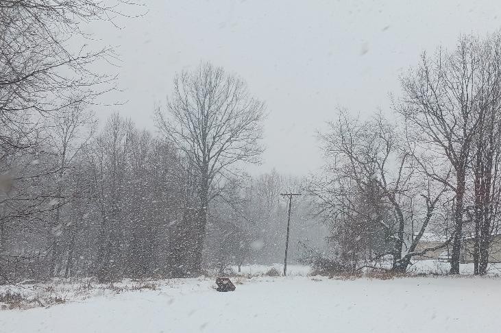
The day began with snow, then changed to rain. Now we have snow once again. Temperatures are remaining right around freezing but are expected to drop throughout the afternoon. That means that there will be a lot of ice. My rain gauge showed 0.48″ of melted precip and rain as of 8:30 AM. Our snow pack was down to 4,5″. The forecast isn’t calling for anymore great amounts of snow, maybe an inch.
Our 11:15 AM temperature is 32°F, the humidity is 93% and skies are overcast with snow. Winds are from the north at 4-10 mph, and the pressure is 28.99 in and rising. The dew point is 30°F and visibility is 2 miles. Yesterday’s high was 33°F and the overnight low was 32°F. Average temps for this date are 35°F/24°F. Record temps for Dec. 9 are 53°F (2023) and 2°F (2006). Sunrise was at 7:57 AM and sunset will be at 5:02 PM.
Today: Cloudy with snow through early afternoon and falling temperatures. Winds NNW at 10-20 mph. Snow accumulations of less than one inch. Chance of snow 80%.
Tonight: Mostly cloudy with snow flurries. Lows in the mid teens. Winds WNW at 10-15 mph, gusting higher at times.
Thursday: Mostly sunny. Highs in the upper 20s. Winds W at 10-15 mph.