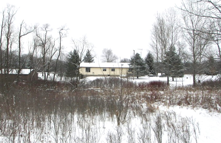
Another Very Cold Day . . . .
We are under the influence of another arctic blast from Canada which continues to keep our temperatures much colder than they should be. Highs today may not even make it out of the teens. Yesterday was partly sunny but clouds moved in overnight and we got a snow shower which didn’t give us much more in accumulation. Thankfully, we are expecting some 40 degree weather by mid week and that should rid us of some of this snow. We currently have 5 inches of snow pack.
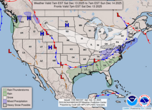
Our 1:15 PM temperature is 18°F, the humidity is 65%, and skies are cloudy. Winds are from the west at 3-14 mph and the pressure is 29.75 in and steady. Yesterday’s high was 30°F and the overnight low was 14°F. Record temps for Dec. 12 are 59°F (2021) and 3°F (2005). Average temps for this day are 35°F/23°F. Sunrise was at 7:59 AM and sunset will be at 5:02 PM.
DURAND / OWOSSO FORECAST:
Today: Mostly cloudy. A chance of snow flurries. Highs in the upper teens. Winds W at 15-25 mph giving us a wind chill values as low as -8°F.
Tonight: Cloudy early, then some clearing. Possible snow flurries or showers. Lows in the single digits. Winds WNW at 10-15 mph.
Sunday: Partly sunny. Highs in the lower 20s. Winds W at 10-15 mph, giving us wind values near zero.