Warmer Temps With Rain . . . . . .
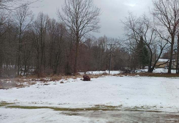
We have a reprieve from the frigid temperatures of the past week, and we have lost about half of our snow pack. There is still about three inches on the ground and a few patches of ice in the driveway. Today will be very warm, but then the cold temps will return again tomorrow. At this time, it is predicted that more warm weather will close out the year and into early January.
Our 1:30 PM temperature is 44°F, the humidity is 76%, and winds are from the south at 5-9 mph. Skies are overcast with light rain and the pressure is 29.26 in and falling. The dew point is 47°F and visibility is 9 miles. Yesterday’s high was 44°F and the overnight low was 33°F. Record temps for Dec. 17 are 61°F (2021) and 5°F (2010). Sunrise was at 8:03 AM and sunset will be at 5:04 PM.
DURAND / OWOSSO FORECAST:
This Afternoon: Cloudy with periods of rain. Highs in the low 50s. Winds WSW at 15-20 mph. Rain amounts between a tenth to quarter of an inch. Chance of rain 100%.
Tonight: Windy with rain early, then changing to snow. Lows in the lower 20s. Winds WSW at 20-30 mph. Chance of precipitation 90%.
Friday: Windy with intermittent snow showers. Mostly cloudy with steady temps in the mid 20s. Winds 20-30 mph with higher gusts probable. Chance of precip 60%.