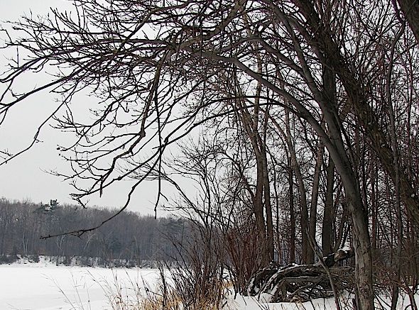
A Slight Thaw Day . . . .
It isn’t much, but we can see the snow on the deck melting very slowly. We’ll see even more on Thursday, Friday, and Saturday as our high temps reach from 10-20 degrees above average. There is still about 3 inches on the ground and I’m sure that we’ll see more snow before winter is done. It’s nice to have a reprieve from time to time however.
Our 3:30 PM temperature is 36°F, the humidity is 66%, and winds are from the west at 6-7 mph. The pressure is 29.71 in and rising. The dew point is 27°F and visibility is 10 miles. Yesterday’s high was 28°F and the overnight low was 27°F. Average temps for this date are 31°F/21°F. Record temps for Jan. 4 are 49°F (2007) and -11°F (2014). Sunrise was at 8:08 AM and sunset will be at 5:16 PM.
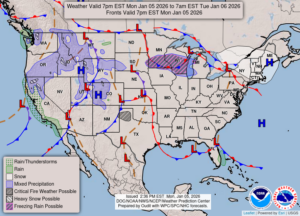
DURAND / OWOSSO FORECAST:
This Afternoon: Cloudy skies. Highs in the mid 30s. Winds WSW at 5-10 mph.
Tonight: Cloudy with lows in the lower 30s. A chance of rain around midnight and patchy fog later. Light and variable winds Chance of precip 20%.
Tuesday: Patchy fog early and rain. Temps steady in the mid to upper 30s. Winds WSW at 5-10 mph. Chance of rain 90%.