Warmer Temps And Sun . . . .
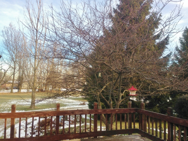
Our morning was grey with snow cover of about an inch. The sun has come out this afternoon and most of the snow is now gone. If not for the wind, it would be quite pleasant outdoors. We aren’t expecting much precipitation over the next few days, although we have another cold mass of air heading our way which will bring high temps only in the teens later this week.
Our 3:15 PM temperature s 44°F, the humidity is 64%, and winds are from the SW at 9-20 mph. The pressure is 29.35 in and falling. Yesterday’s high was 38°F and the overnight low was 32°F. Average temps for this date are 29°F/17°F. The dew point is 30°F and visibility is 10 miles.
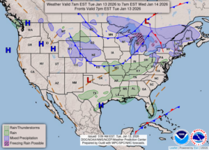
DURAND / OWOSSO FORECAST:
This Afternoon: Mostly sunny. Breezy with winds at 15-25 mph from the WSW.
Tonight: Increasing clouds with a slight chance of a rain or snow shower. Lows in the mid 20s. Winds WSW at 15-25 mph. Chance of precipitation 30%.
Wednesday: Cloudy with a chance of snow. Highs in the upper 30s. winds NW at 15-25 mph. Wind chill values of -4F with falling temps throughout the day.