Intermittent Snow Showers For Our Wednesday . . . . .
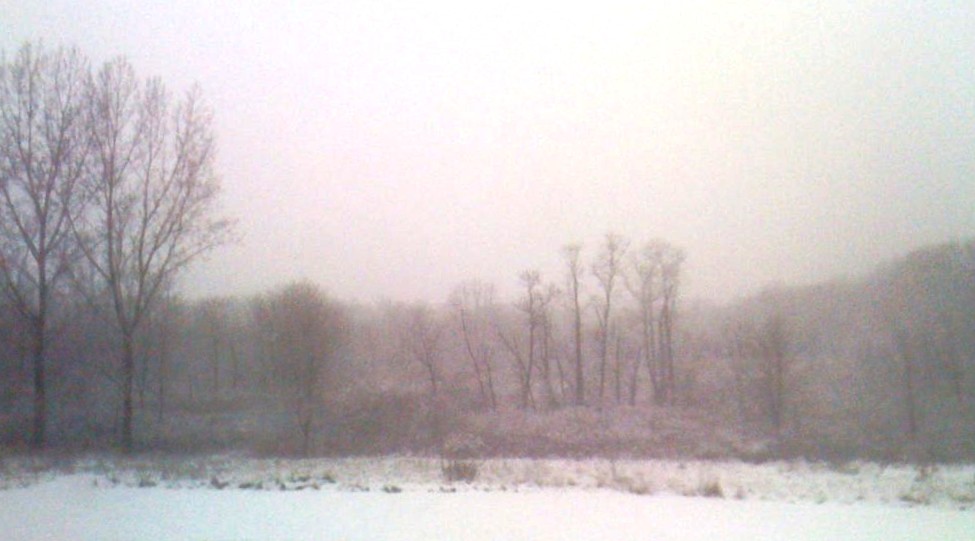
We have had off and on snow showers all day. There was a trace of snow early this morning, now we have about two inches. This weather system is expected to last the remainder of the week with much colder temperatures.
Our 5:30 PM temperature is 18°F, the humidity is 70%, and skies are overcast with light snow. Winds are from the NW at 6-13 mph, and the pressure is 29.66 in and rising. The dew point is 11°F and visibility is 5 miles. Yesterday’s high was 46°F and the overnight low was 29°F. Average temps for this date are 28°F/17°F.
Sunrise was at 8:05 AM and sunset will be at 5:26 PM.
DURAND / OWOSSO FORECAST:
Tonight: Cloudy with snow showers early. Lows around 10°F. Winds NNW at 10-20 mph, giving a wind chill of -6°F. Chance of snow 40%.
Thursday: Cloudy in the morning with gradual clearing in the afternoon. A few snow showers possible. Winds NW at 10-20 mph with wind chill values of -7°F. Highs in the low 20s.
Thursday Night: Cloudy with a chance of snow overnight. Lows in the teens. Winds SSW at 5-10 mph. Chance of snow 20%.