A Very Cold, Blustery Day . . . .
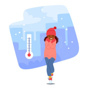
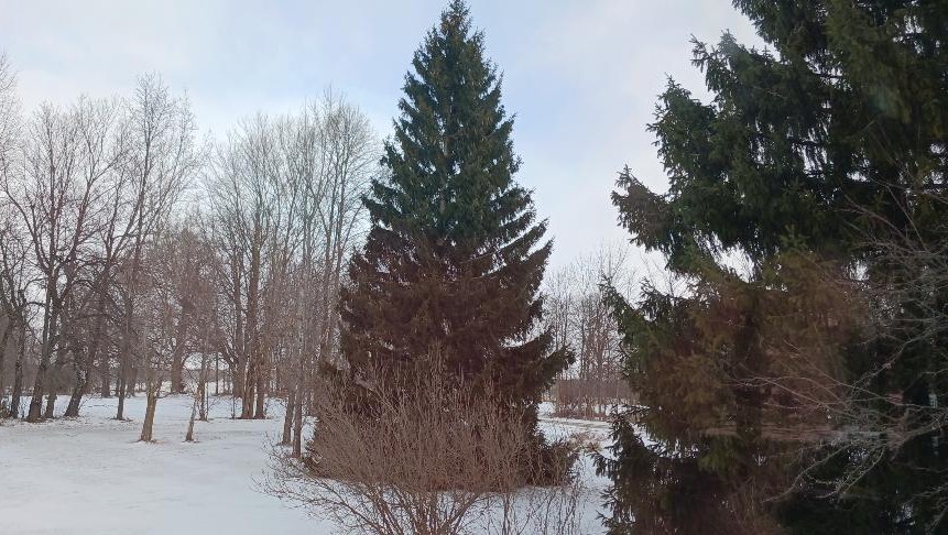
This is not a good day to be outdoors. Not only do we have very cold temperatures, but the wind is terrible. Wind chills could fall to -15F this afternoon. There are many lake effect snow squalls happening, especially on the west side of the state. Some of the expressways are closed due to accidents, and in these freezing temps, that is not a good thing.
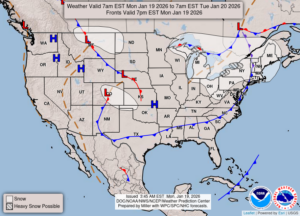
Our 2 PM temperature is 17°F, the humidity is 63%, and winds are from the west at 16-18 mph. The pressure is 29.93 in and rising. The dew point is 5°F and visibility is 4 miles due to blowing snow. Yesterday’s high was 21F and the overnight low was 12°F. Average temps for this date are 27°F/15°F. Record temps for Jan 18. are 45°F (2023) and -2°F (2005). Sunrise was at 8:03 AM and sunset will be at 5:32 PM.
DURAND / OWOSSO FORECAST:
This Afternoon: Cloudy, windy and frigid. A few snow showers are possible. Highs in the mid teens. Winds 20-30 mph from the west. Wind chill values could fall to -15°F. Chance of snow 50%.
Tonight: Cloudy skies. Lows in the single digits. Winds W at 10-20 mph, giving us a wind chill of -10°F.
Tuesday: Cloudy and continued windy. Highs in the mid teens. Winds W at 10-20 mph. Wind chill values near -12°F.