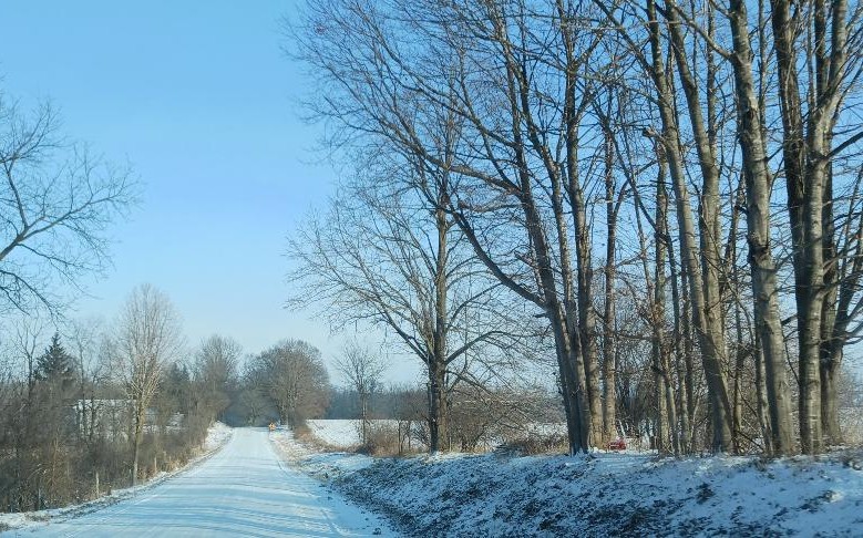
Frigid Weather Continues . . . . .
This current weather is much too cold for me. This winter is much like our summer was . . . . one extreme to the other. We’re making up for the past winters that have very mild. Our local weather gurus aren’t giving us much hope for an end to this either. I’d even welcome a foot of snow if only temperatures would stay close to freezing. But it is what it is.
Our temperature is 15°F, the humidity is 62%, and skies are partly cloudy. Winds are from the WSW at 5-14 mph and the pressure is 30.28 in and steady. The wind chill is -1°F, the dew point is 3°F and visibility is 10 miles. Yesterday’s high was 14°F and the overnight low was 4°F. Record temps for Jan. 19 are 40F (2022) and -1°F (2022). Average temps for this date are 27°F/15°F. Sunrise was at 8:01 AM and sunset will be at 5:33 PM.
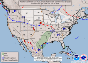
DURAND / OWOSSO FORECAST:
This Afternoon: Partly to mostly cloudy. A few snow showers are possible. Highs in the mid teens. Winds WSW at 10-20 mph, with chill values near 0°F.
Tonight: Snow, mainly after 4AM. Lows in the single digits. Winds SSW at 10-20 mph. Chance of snow 70%.
Wednesday: Mostly cloudy with snow in the morning. Highs near 30°F. Winds SW at 10-20 mph. Snow accumulations of 1-3 inches. Chance of snow 100%