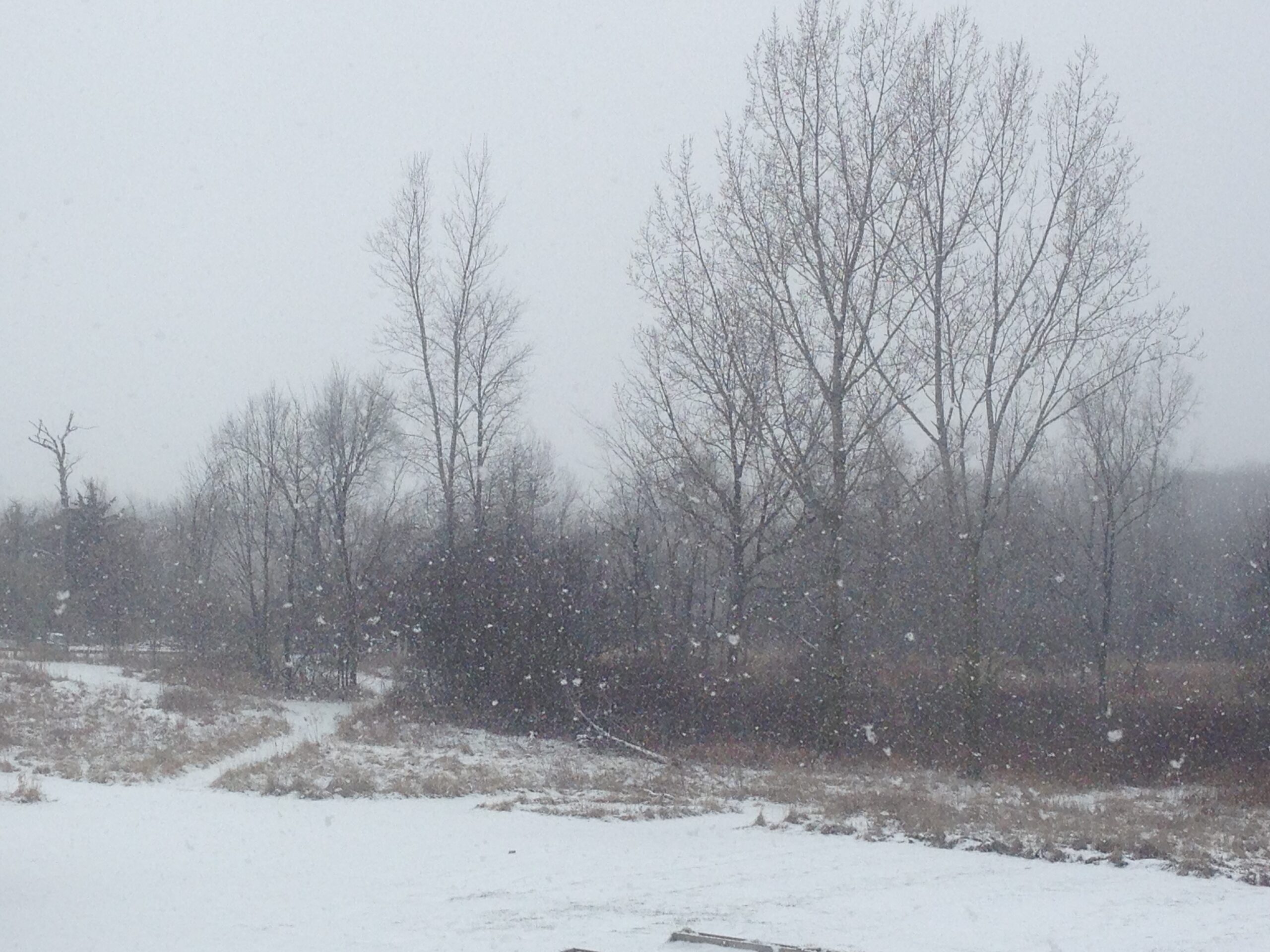
A Snowy Morning . . . .
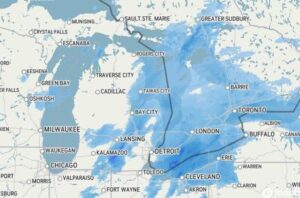
The snow began about 8:30 this morning has been increasing in intensity since then. Radar is showing that it is almost past us, and it looks like we’ll get about two inches buy the time it is done. At least it’s a little warmer this morning. Unfortunately, we have some very cold days coming by week’s end with highs only in the single digits.
Our 11:30 AM temperature is 24°F, the humidity is 84%, and skies are cloudy with moderate snowfall. Winds are from the SW at 4-10 mph and the pressure is 29.88 in and falling. The dew point is 18°F and visibility is 1 miles. Yesterday’s high was 17°F and the overnight low was 10°F. Average temps for this date are 27°F/15°F. Record temps for Jan. 20 are 50°F (2006) and -4°F (2025). Sunrise was at 8:01 AM and sunset will be at 5:34 PM.
DURAND / OWOSSO FORECAST:
Today: Winter Weather Advisory in effect. Highs in the low 30s. Steady snow early, diminishing to a few snow showers this afternoon. Winds WSW at 15-25 mph. Snow accumulations of 2 inches. Chance of snow 100%.
Tonight: Cloudy with a chance of snow showers late. Lows in the upper teens. Winds SW at 10-15 mph, gusting higher at times. Chance of snow 50%.
Thursday: Partly cloudy. Highs in the lower 20s. A few snow flurries possible. Winds 15-25 mph with wind chill values of zero.