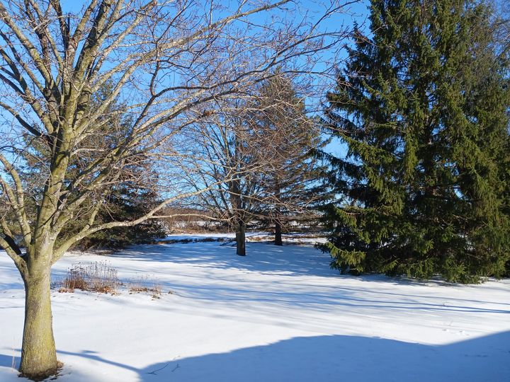
Snow Just Won’t Quit . . . . .
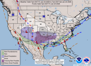
Everyday lately, we’ve been getting at least a couple inches of snow every day. Every time we shovel the deck, there is more the next day. Most is lake effect which manages to reach this far inland. There’s a “catastrophic” winter storm slamming into the southern regions of the country. Much of it will be ice storms, expected to leave up to an inch of ice in some areas. People are warned that they could be without electricity for up to a week. We could get a little snow from this system, but most will remain to our south. Now they saying that we could get another storm next weekend. My area has been very lucky so far.
Our 12:15 PM temperature is 1°F, the humidity is 54%, winds are from the WNW at 7-16 mph, and the wind chill is -22°F. The pressure is 30.50 in and rising. Skies are clear and the dew point is -11°F. Visibility is 19 miles. Average temps for this date are 27°F/14°F. Record temps for Jan. 22 are 54°F (2017) and -11°F (2025). Sunrise was at 8:00 AM and sunset will be at 5:37 PM.
DURAND / OWOSSO FORECAST:
Today: Bitterly cold. Highs only near 3°F. Winds WNW at 10-20 mph, with wind chill values near -18°F. Skies mostly sunny.
Tonight: Mostly clear. Lows near -10°F. Winds W at 5-10 mph, making wind values at -18°F.
Saturday: Partly cloudy early with increasing clouds in the afternoon. Highs in the upper single digits. Winds light and variable.