The Big Storm Just Missed Us . . . . .
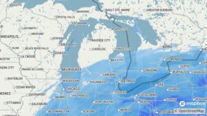
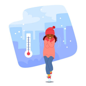
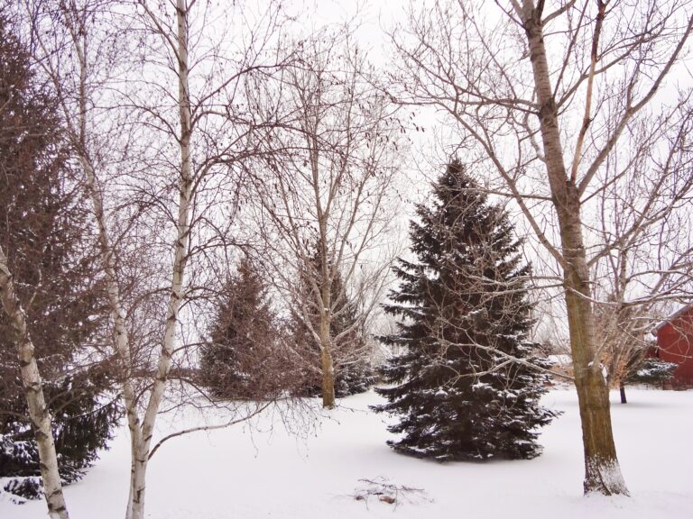
The massive winter storm, which is affecting about one third of the country, is wreaking havoc on our southern and eastern states. Michigan lucked out once again. We are getting some light snow but we are expecting only an inch or so. The frigid temperatures continue with highs in the teens, but that’s better than yesterday where it didn’t make it out of the single digits. There is no warmup expected anytime soon, maybe not until mid February.
Our 10:15 AM temperature is 10°F, the humidity is 84%, and skies are cloudy with light snow. Winds are from the north at 2-5 mph, and the pressure is 30.13 in and falling. The dew point is 5°F and visibility is 2 miles. Yesterday’s high was 6°F and the overnight low was -14°F. Average temps for this date are 26°F/13°F. Record temps for Jan. 24 are 48°F (2012) and -14°F (2026). Sunrise was at 7:58 AM and sunset will be at 5:40 PM.
DURAND / OWOSSO FORECAST:
Today: Periods of light snow. Highs in the upper teens. Winds NNE at 10-15 mph, gusting higher at times. Snow totals 1-3 inches. Snow chances 90%.
Tonight: Cloudy skies with light snow showers. Lows in the single digits. Winds NNW at 5-10 mph. Chance of snow 50%.
Monday: Mostly cloudy with some sun. Highs in the upper teens. Winds WNW at 10-15 mph.