No More Winter Storm . . . .
The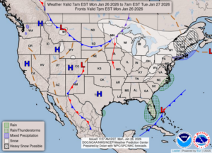
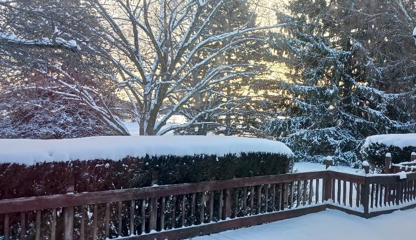
The winter storm which affected much of our country has moved on, leaving the southern states with a lot of ice damage to trees. Tennessee and Mississippi seemed to be the hardest hit. Here in Michigan, we got some snow out of it, but no great amounts, at least here in mid Michigan. The areas in the western portions of our state got quite a bit of lake effect snow, which brought them up to a foot. We got about 2-3 inches of new snow here. That’s enough. I’m ready for spring.
Our 5:30 PM temperature is 13°F, the humidity is 72% and winds are from the west at 4-11 mph. The pressure is 30.07 in and steady. Skies are partly to mostly cloudy and the dew point is 4°F. Visibility is 11 miles. Yesterday’s high was 16°F and the overnight low was 9°F. Sunrise was at 7:57 AM and sunset will be at 5:41 PM.
DURAND / OWOSSO FORECAST:
Tonight: Mostly cloudy with light snow developing. Lows around 4°F. Winds SW at 10-20 mph with wind chills of -14°F. Chance of precip 50%.
Tuesday: Cloudy with snow showers early. Highs in the mid teens. Winds SW at 10-20 mph. Winds chill values as low as -10°F. Chance of snow 50%.
Tuesday Night: Becoming partly cloudy. Lows in the lower single digits. Winds W at 10-15 mph.