More Lake Effect Snow . . . .
M
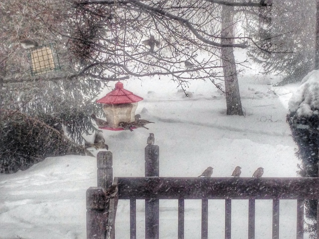
We have another round of lake effect snow which is causing dangerous conditions on the roads. We now have about 4.5 inches of snow cover and still more to come. This is the 5th day in a row that it is snowing, and it’s really getting old. What’s worse is that temps are so cold that road salt isn’t very effective. I’m glad we don’t have to go anywhere today.
Our 1:15 PM temperature is 16°F, the humidity is 57%, and skies are cloudy with intermittent snow squalls. Winds are from the west at 6-14 mph and the pressure is 29.87 in and rising. The dew point is 3°F and visibility is 7 miles. Yesterday’s high was 17°F and the overnight low was 4°F. Record temps for Jan. 26 are 44°F (2016) and -6°F (2022). Sunrise was at 7:57 AM and sunset will be at 5:42 PM.
DURAND / OWOSSO FORECAST:
This Afternoon: Snow Showers. Highs in the upper teens. Winds WNW at 15-25 mph, gusting higher at times. Chance of snow 60%.
Tonight: Becoming partly cloudy. Lows around 2°F. Winds W at 5-15 mph with winds chills of -10°F.
Wednesday: Mostly cloudy with a few snow showers early. Highs in the mid teens. Winds WSW at 5-15 mph with wind chills as low as -11°F.