More Of The Same . . . .
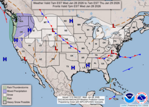
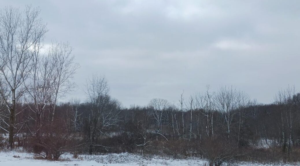
Our weather is the same as it has been for the past 4-5 days. We have very cold temperatures and intermittent lake effect snow showers. It doesn’t look like there will be any change anytime soon. In fact, there is another mass of cold are arriving by the weekend, and it will bring more snow to the eastern states. Thankfully, it appears that it will miss us. This is one of the coldest winters I can ever remember. This frigid weather in unrelenting.
Our 3:45 PM temperature is 16°F, the humidity is 62%, and winds are from the west at 6-12 mph. Our snow cover is 4.5 inches. Skies are overcast and the pressure is 29.96 in and falling. The dew point is 3°F and visibility is 7 miles. Yesterday’s high was 17°F and the overnight low was 12°F. Average temps for this date are 27°F/14°F. Sunrise was at 7:56 AM and sunset will be at 5:44 PM.
DURAND / OWOSSO FORECAST:
This Afternoon: Mostly cloudy with a chance of snow showers. Highs in the mid teens. Winds W at 15-20 mph. Chance of snow 30%.
Tonight: A chance of snow showers early, then some clearing overnight. Low near zero. Winds WNW at 10-15 mph with wind chill values at -10°F. Chance of snow 30%.
Thursday: Mostly sunny early, becoming mostly cloudy in the afternoon. Highs in the low teens. Winds NW at 3-10 mph with wind chill values at -11°F.