Warmer But More Snow . . . . .
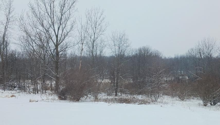
We have a little break in the frigid temperatures. I doubt that it will last but it seems mild from what we have had the past week. There were intermittent snow showers yesterday which left us with an additional half inch of snow. We have about 4.5 to 5 inches of snow cover and I think it will stick around for awhile.
Our 1 PM temperature is 26°F, the humidity is 62%, and skies are cloudy. Winds are from the NW at 4-7 mph and the pressure is 30.13 in and steady. The dew point is 12°F and visibility is 10 miles. Yesterday’s high was 26°F and the overnight low was 22°F. Average temps for this date are 28°F/15°F. Record temps for Feb. 2 are 48°F (2022) and -8°F (2026). Sunrise was at 7:48 AM and sunset will be at 5:51 PM.
DURAND / OWOSSO FORECAST:
Today: Mostly cloudy. Highs in the mid 20s. Winds NW at 5-10 mph.
Tonight: Partly cloudy. Lows in the single digits. Winds light and variable.
Wednesday: Partly sunny. Highs in the low 20s. Winds NW at 5-10 mph giving wind chills values of -5°F.