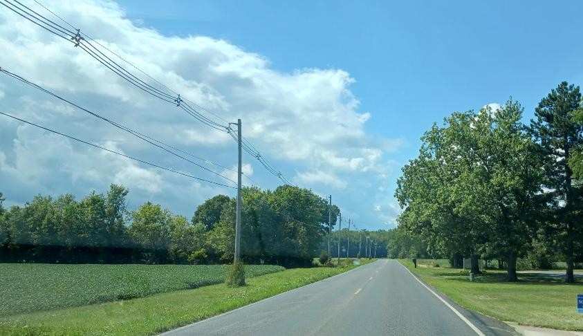
Partly Cloudy With Possible Rain Ahead . . . .
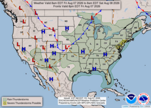
Over the past two days, we finally got some much needed rain. Our overall weather has been hot and humid and this is typical for August in Michigan. We could see some strong storms over the weekend and early next week, but that’s always a possibility when the weather is hot and humid.
Our 12 noon temperature is 79°F, the humidity is 70%, and skies are partly cloudy. Winds are from the SW at 2-7 mph, and the pressure is 30.21 in and steady. The dew point is 67°F and visibility is 10 miles. The Air Quality Index is moderate at 76°F. Yesterdays high was 85°F and the overnight low was 65°F. Average temps for this date are 81°F/59°F. Record temps for August 6 are 95°F (2018) and 49°F (2020). Sunrise was at 6:34 AM and sunset will be at 8:51 PM.
DURAND / OWOSSO FORECAST:
Today: Partly sunny with a chance of a shower or thunderstorm. Highs in the mid 80s. Winds SW at 5-10 mph. Chance of rain 40%.
Tonight: Partly cloudy with a stray shower or thunderstorm possible. Lows in the upper 60s. Winds light and variable. Chance of rain 20%.
Saturday: Partly cloudy. Highs in the mid 80s. Winds WSW at 10-15 mph.

wSW at 5-10 mph.